Global Perspective On Biodiversity Conservation With Satellite Imagery
Global Perspective On Biodiversity Conservation With Satellite Imagery
In the vast web of life on Earth, every species, from the tiniest insects to the largest mammals, plays a role in maintaining the delicate balance of our ecosystems. But with climate change, habitat loss, and human activity reshaping our planet, this balance is increasingly at risk. The challenge is immense, and our ability to respond depends on how clearly we understand what’s happening to the world around us.
This is where satellite imagery steps in, offering an unprecedented way to see the bigger picture. From space, we can now observe the intricate patterns of forests, oceans, and wildlife in real time. Satellite view of the Earth allows us to monitor the health of our planet’s biodiversity, helping conservationists pinpoint where interventions are needed most. What was once the realm of sci-fi has become an essential tool in our efforts to protect life on Earth, providing a truly global perspective on biodiversity conservation.
Monitoring Habitat Loss and Fragmentation
Habitat loss and fragmentation have long been major contributors to biodiversity decline, but tracking these changes on a large scale has always been a challenge. With advancements in satellite technology, however, scientists and conservationists can now find current satellite imagery that captures these shifts in real time. From shrinking rainforests to disappearing wetlands, satellites offer a comprehensive view of how human activities are breaking apart once-thriving ecosystems. This data helps pinpoint areas most affected by fragmentation, enabling targeted action to preserve remaining habitats before it’s too late.

Satellite imagery doesn’t just reveal the damage but also tells the story of how ecosystems change over time. By studying long-term patterns of habitat loss and fragmentation, experts can identify regions where species are at the highest risk of isolation and extinction. This powerful tool allows conservationists to craft better strategies for connecting fragmented habitats, creating wildlife corridors, and protecting vulnerable species. In a world where habitats are disappearing at an alarming rate, satellite imagery offers a critical lifeline for preserving the natural spaces that sustain life on Earth.
Mapping Deforestation and Land Degradation
Mapping deforestation and land degradation has become crucial in protecting our planet’s rapidly shrinking ecosystems. As forests disappear at alarming rates, the ability to monitor and respond to these changes in real-time has never been more important. The information gathered with satellites helps conservationists, governments, and local communities take decisive action to safeguard vulnerable areas and restore degraded lands before it’s too late.
One such community, the Saamaka people of Suriname, faced severe deforestation within their ancestral lands, primarily driven by logging activities. With a long history of resilience, the Saamaka turned to EOS Data Analytics, a global provider of satellite data analytics, to help tackle this crisis.
Amazon Heat Wave Claims Dolphin Lives (youtube.com)
Amazon Heat Wave Claims Dolphin Lives Video: EOS Data Analytics YouTube Channel.
By analysing satellite images from Sentinel-2 and other data sources, EOSDA was able to pinpoint and quantify the deforestation around the Palmeras road, revealing a significant increase in land degradation in just two years. This detailed data not only exposed the extent of destruction but also provided the Saamaka with powerful evidence to support their fight for preserving their land, helping them advocate for the cessation of illegal logging activities and protect their cultural and environmental heritage.
Mapping Biodiversity Hotspots
Mapping biodiversity hotspots is another critical step in protecting the planet’s most biologically rich and vulnerable areas. These regions, teeming with life, often house species found nowhere else, making them a priority for conservation. With historical and most recent satellite images, scientists can track these fragile ecosystems from space, providing the unique view of changes over time. This allows for early intervention in regions at risk and gives conservationists the data they need to develop strategies to preserve biodiversity.
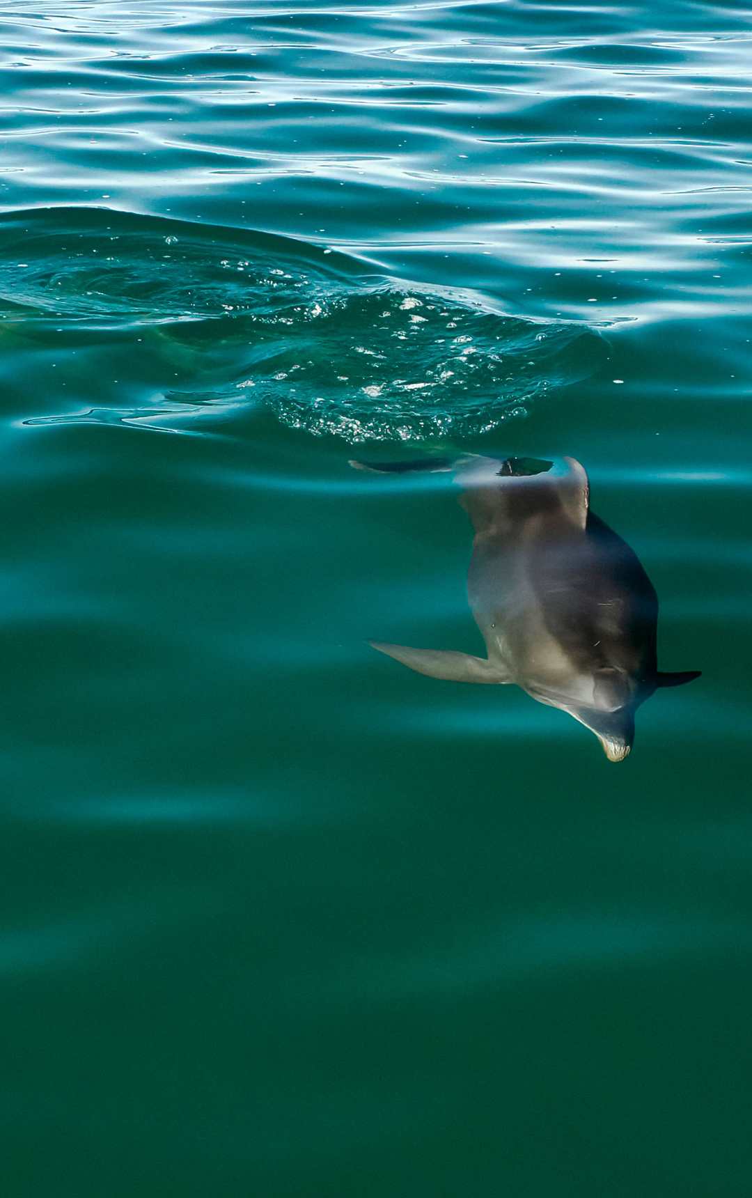
In late 2023, the Amazon River, a lifeline for the world’s largest rainforest, experienced an unprecedented ecological disaster. A total of 155 river dolphins were found dead in Lake Tefé, and shortly after, another 120 dolphins were discovered in nearby Lake Coari. Their deaths sent shockwaves through the scientific community, underscoring the fragility of the ecosystem and the immediate need to investigate the root causes of this tragedy.
EOS Data Analytics played a pivotal role in understanding this environmental catastrophe. Using advanced satellite imagery, EOSDA analysed the changes in the region’s water bodies over time. By studying satellite images from September to November 2023, the team was able to track the shrinking lakes and detect significant algal blooms along the shorelines of both Lake Tefé and Lake Coari. The water levels had visibly receded, and the algae, potentially toxic to fish, indicated that multiple stressors were likely impacting the ecosystem.
Further analysis of spectral images revealed that the waters had become murkier and shallower, with temperatures exceeding 40 degrees Celsius in some areas. These extreme conditions, combined with the shrinking water bodies, created a deadly environment for the dolphins, who became trapped in smaller areas where survival was no longer possible.
Through their findings, EOSDA helped bring global attention to the dolphin deaths, empowering local and international efforts to halt further ecological damage. The data they provided not only quantified the extent of the crisis but also paved the way for a more coordinated approach to protecting the remaining dolphin population and the broader Amazonian ecosystem.
Detecting Illegal Activities in Protected Areas
Whether it’s poaching, logging, or mining, these activities not only devastate local ecosystems but also endanger the people who rely on these lands. With the rise of modern technology, up-to-date satellite images included, we now have a powerful tool to detect and address these illicit operations in real-time, safeguarding both nature and its defenders.
One striking example of illegal activities is the devastation faced by the Munduruku Indigenous People in Pará, Brazil. Their lands have been ravaged by illegal gold mining, which poisons the water with mercury and causes large-scale deforestation. The community suffers from contaminated drinking water and fish, leading to widespread health issues. To combat this, EOS Data Analytics leveraged satellite imagery to assess the environmental damage caused by these activities. By comparing data over five years, they identified a sharp increase in deforestation and water contamination, providing critical information to raise awareness and support mitigation efforts. This enabled the Munduruku people to gain a clearer picture of the destruction and helped global efforts to protect their territory and preserve their way of life.
Evidently, in a world where biodiversity is under constant threat, satellite imagery offers an unparalleled perspective in the fight to protect fragile ecosystems. And as we continue to harness its power, we gain not only a clearer view of the challenges ahead but also a critical tool to help preserve life that sustains our planet.
Author:
With over fifteen years of experience in commercial writing and journalism, Maksym is dedicated to fostering positive change in society, ecology and the environment. His passion lies in using compelling narratives to inspire action and drive sustainable impact, aiming to create a greener, more resilient world through the art of storytelling.
You might also enjoy this article by the same author: Mapping Climate Change: How Geospatial Tools Drive Action


Constructive Voices Shortlisted at the 2025 Publisher Podcast Awards in Two Categories
7 months ago[…] Agency’s top prize, a “Space Oscar,” for her work on urban tree crown delineation to combat deforestation. Forbes and Elsevier have both recognised her on their respective “30 under 30” […]