Mapping Climate Change: How Geospatial Tools Drive Action
- Maksym Sushchuk
- November 29, 2024
Mapping Climate Change: How Geospatial Tools Drive Action
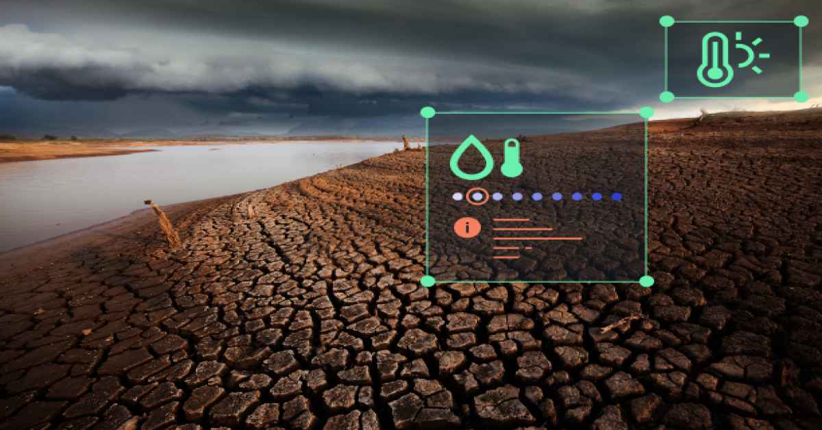
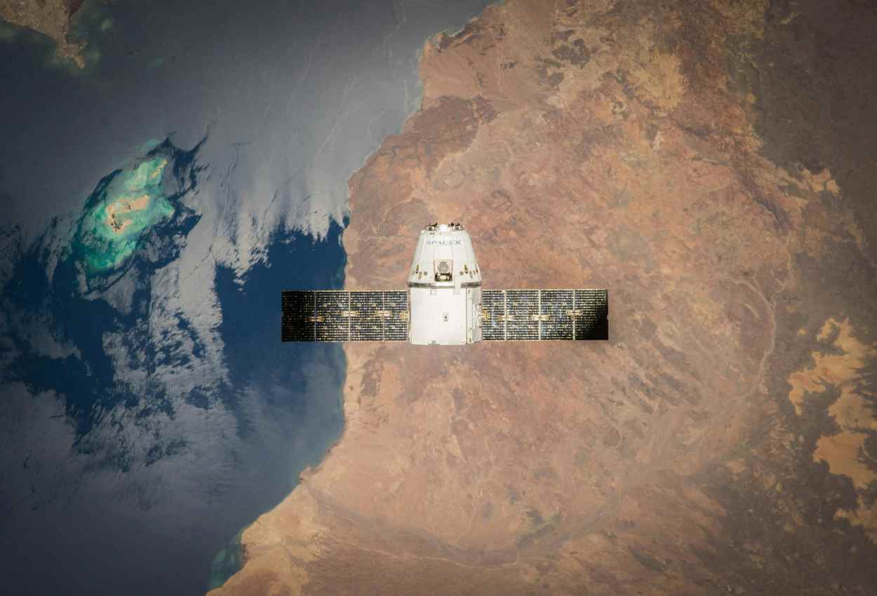
With geospatial data, particularly through satellite imagery, we can now observe our planet in unprecedented detail. From melting glaciers to shrinking forests, satellites offer an all-encompassing view of how our environment is changing, providing crucial data needed to assess, predict, and, ultimately, act on climate challenges.
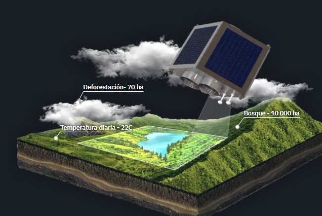
For example, through the identification of deforestation hotspots, monitoring greenhouse gas emissions, and tracking the effectiveness of reforestation efforts, satellite data drives real solutions.
This gives policymakers and scientists the necessary tools to apply measures that reduce environmental degradation, enhance the resilience of ecosystems, and foster sustainable practices on a global scale.

Urban Сlimate Сhange
Cities are at the forefront of the battle against climate change. With bustling populations and constant development, they’re both contributors to and victims of environmental shifts. Rising temperatures, increased pollution, and shrinking green spaces are just some of the changes happening before our eyes.
To truly understand the scope of these urban challenges, we now rely on commercial and open-source satellite imagery. This powerful combination allows experts to track air quality, heat islands, and even the expansion of urban infrastructure in real-time.
By analysing this data, we gain the insights necessary to plan smarter, greener cities that are better equipped to combat climate change’s effects.
When urban planners have access to detailed satellite images, they can make informed decisions about where to plant trees to reduce heat, how to design public spaces that promote sustainability, and how to monitor pollution hotspots.
Both commercial and open-source satellite imagery offer the flexibility needed to adjust strategies quickly, ensuring that cities can respond to environmental changes faster than ever before. The future of urban climate resilience is being shaped from space, and we are just beginning to unlock its potential.
Monitoring And Managing Forests
Forests are the Earth’s silent guardians, absorbing carbon, producing oxygen, and acting as the planet’s natural climate regulators. But as deforestation continues to ravage these ecosystems, the need to monitor and manage them has become urgent.
With the help of satellite technology, we can now observe forests in ways that were once unimaginable. From tracking illegal logging to assessing the overall health of forest cover, satellite monitoring gives us the power to protect these vital landscapes before it’s too late.

This real-time data helps us catch environmental threats early, ensuring that forests can continue to play their crucial role in fighting climate change.
What makes satellite-based tracking so invaluable is its ability to capture the intricate details of vast, remote areas that would otherwise go unseen. Imagine being able to watch the slow encroachment of deforestation in the Amazon or witness the regrowth of a forest following reforestation efforts, all from space.
The insights gained from satellite images guide conservation efforts and policy decisions, helping us strike the right balance between human development and environmental preservation. In the face of climate change, protecting our forests isn’t just important but rather essential.
Data Analysis And AI
Although satellite imagery gives us a window into the Earth’s evolving landscape, it’s the power of data analysis and AI that transforms this raw data into actionable insights. Satellites capture vast amounts of information, yet without advanced tools to interpret these images, much of their value would be lost. This is where data analysis and AI step in, allowing us to sift through massive datasets, identify trends, and predict future environmental changes.
With AI-driven algorithms, we can automate the process of detecting climate-related anomalies, providing us with faster, more accurate results than ever before.
However, while these tools offer incredible potential, they also come with challenges. The sheer volume of data generated by satellites is immense, making it difficult to process in real time. Additionally, AI models are only as good as the data they’re trained on, meaning there’s always the risk of misinterpretation if the input data isn’t accurate or comprehensive enough.
But despite these hurdles, the combination of a satellite monitoring system and AI is revolutionizing how we monitor climate change. By turning data into understanding, we’re better equipped to address the planet’s most pressing environmental challenges and make informed decisions for a sustainable future.

Global Support Of Geospatial Initiatives
While some countries have made significant strides in harnessing geospatial technology, others face challenges, from lacking infrastructure to limited technical expertise and funding. This creates a digital divide, where the benefits of geospatial data for climate change monitoring are not equally accessible to all.
Recognizing this gap, initiatives like the UN-GGIM are stepping up to promote international cooperation, ensuring that even the most resource-strapped nations can tap into the power of geospatial information.
The UN-GGIM (United Nations Global Geospatial Information Management) works to break down these barriers by fostering global collaboration, providing a framework that allows every country to access, share, and apply geospatial data effectively. This effort is especially crucial in the context of climate change, where timely, precise data can guide nations toward smarter resource management, better urban planning, and more resilient ecosystems. As technological advancements continue, the ability to use trusted and foundational geospatial data will only become more vital, providing evidence-based insights that lead to more targeted and effective solutions.
Through its initiatives, like the Task Team on Geospatial Information for Climate Resilience, UN-GGIM is driving the global conversation forward. Established in 2023, this task team strengthens the connection between geospatial, statistical, and climate-focused organizations, ensuring that all parts of the global system are working together. Climate resilience is not just a goal; it’s an urgent necessity, and geospatial data is the key to achieving it. By raising awareness of its potential and advocating for its widespread use, the UN-GGIM is paving the way for a more climate-resilient future, one where every nation has the tools to contribute to meaningful global change.
In a world shaped by climate change, geospatial data is emerging as one of our most powerful tools to understand and address these challenges. While there are still gaps in access and capacity between nations, global efforts are working to bridge this divide. By promoting international cooperation and ensuring that geospatial information is accessible to all, these initiatives are empowering every country to play a role in protecting our planet. As we move forward, the combination of cutting-edge technology and collaboration will help us turn data into action, creating a more resilient future for everyone.
About the author
With over fifteen years of experience in commercial writing and journalism, Maksym is dedicated to fostering positive change in society, ecology and the environment. His passion lies in using compelling narratives to inspire action and drive sustainable impact, aiming to create a greener, more resilient world through the art of storytelling.
Check out this article by the same author: Global Perspective On Biodiversity Conservation With Satellite Imagery


Biodiversity Conservation With Satellite Imagery
2 months ago[…] You might also enjoy this article by the same author: Mapping Climate Change: How Geospatial Tools Drive Action […]